

From Mapping to Engineering, Submar Has You Covered
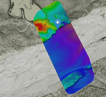
Topographical Surveying and Mapping Submar can provide topographical surveying services via a site assessment survey that will assist us in engineering design. Our surveying equipment consists of RTK GPS, robotic total stations, and unmanned aerial vehicles (a.k.a. drones) that collect the project site data. After the data is collected, civil designers use AutoCAD 3D software
Read More...